GeoSpy
GeoSpy is a service that uses AI to instantly identify the location of a photo. It can identify locations such as accident scenes, buildings, and natural landscapes, based on the background of the photo.

Features
The features of GeoSpy are as follows:
- Identify the location of a photo
- In addition to location information, identify the location with AI
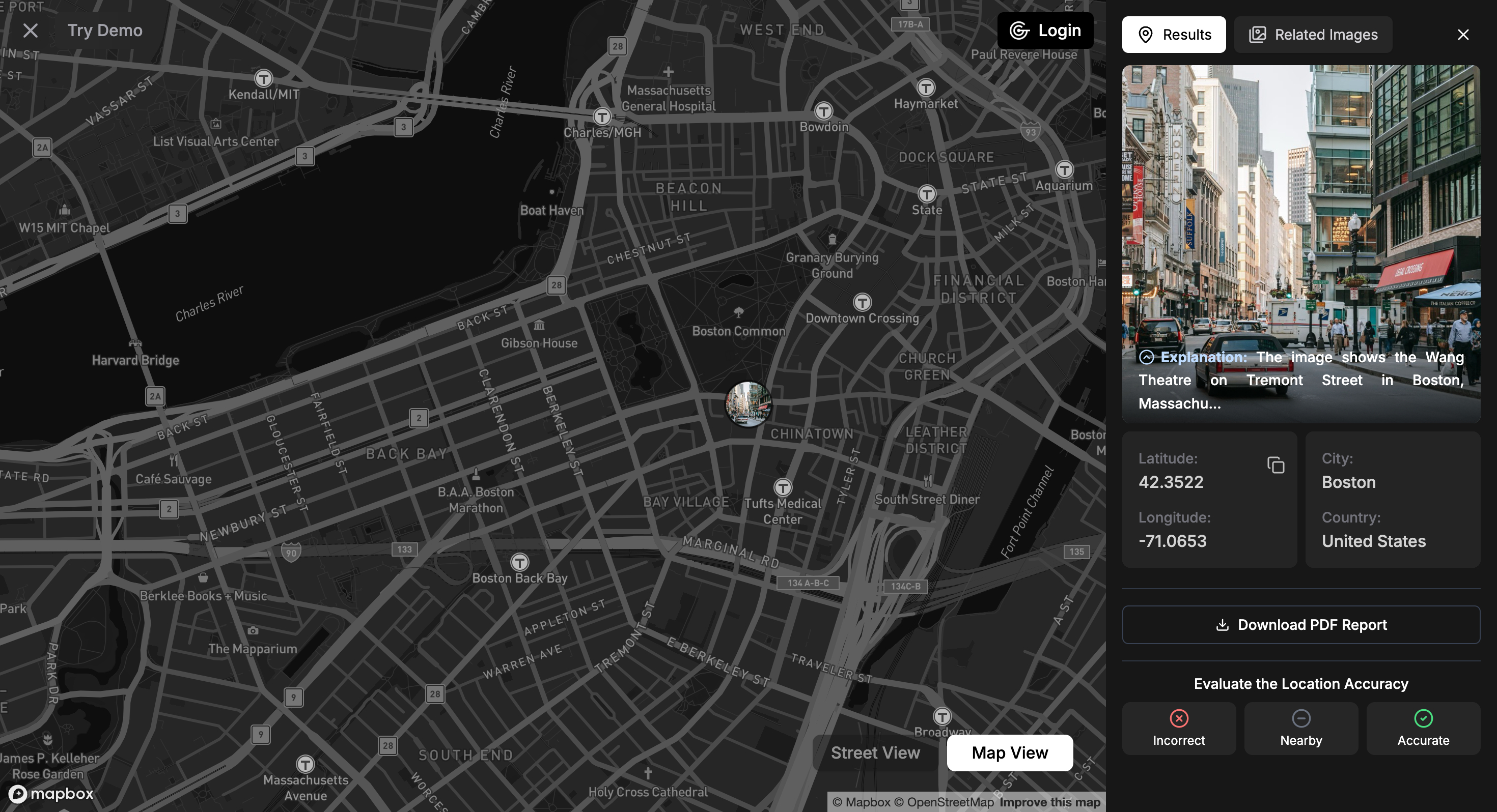
GeoSpy identifies the location of a photo based on the background of the photo. If buildings or other objects can be identified, it provides a very accurate location.
API
Using the GeoSpy API, you can specify the URL of an image to get location information and address.
The sample code is as follows:
import requests
import base64

image_path = "YOUR_IMAGE_PATH_HERE"
with open(image_path, "rb") as image_file:
    encoded_string = base64.b64encode(image_file.read()).decode('utf-8')

url = f"https://dev.geospy.ai/predict?image={encoded_string}&top_k=5"
headers = {"Authorization": "Bearer YOUR_KEY_HERE"}

response = requests.post(url, headers=headers)

print(response.text)
Demo
The demo is available at GeoSpy | Interactive Map. Note that the photo is selected from pre-specified photos, and you cannot upload it freely.
Other sample codes are available at geospy-api-samples/examples at main · Graylark-io/geospy-api-samples.
Pricing
GeoSpy is provided for government and law enforcement agencies at a fee. Please contact us for the price.
MOONGIFT Eye
The atmosphere is like that of AI version of GeoGuessr. It accurately identifies the location of a photo based on the photo. The clues are the soil, vegetation, objects, and environmental information. Therefore, GeoSpy is said to be more accurate for outdoor photos.